Capitol Reef National Park, Utah, Utah | Park 52/59


Where To Go And What To See In Capitol Reef National Park
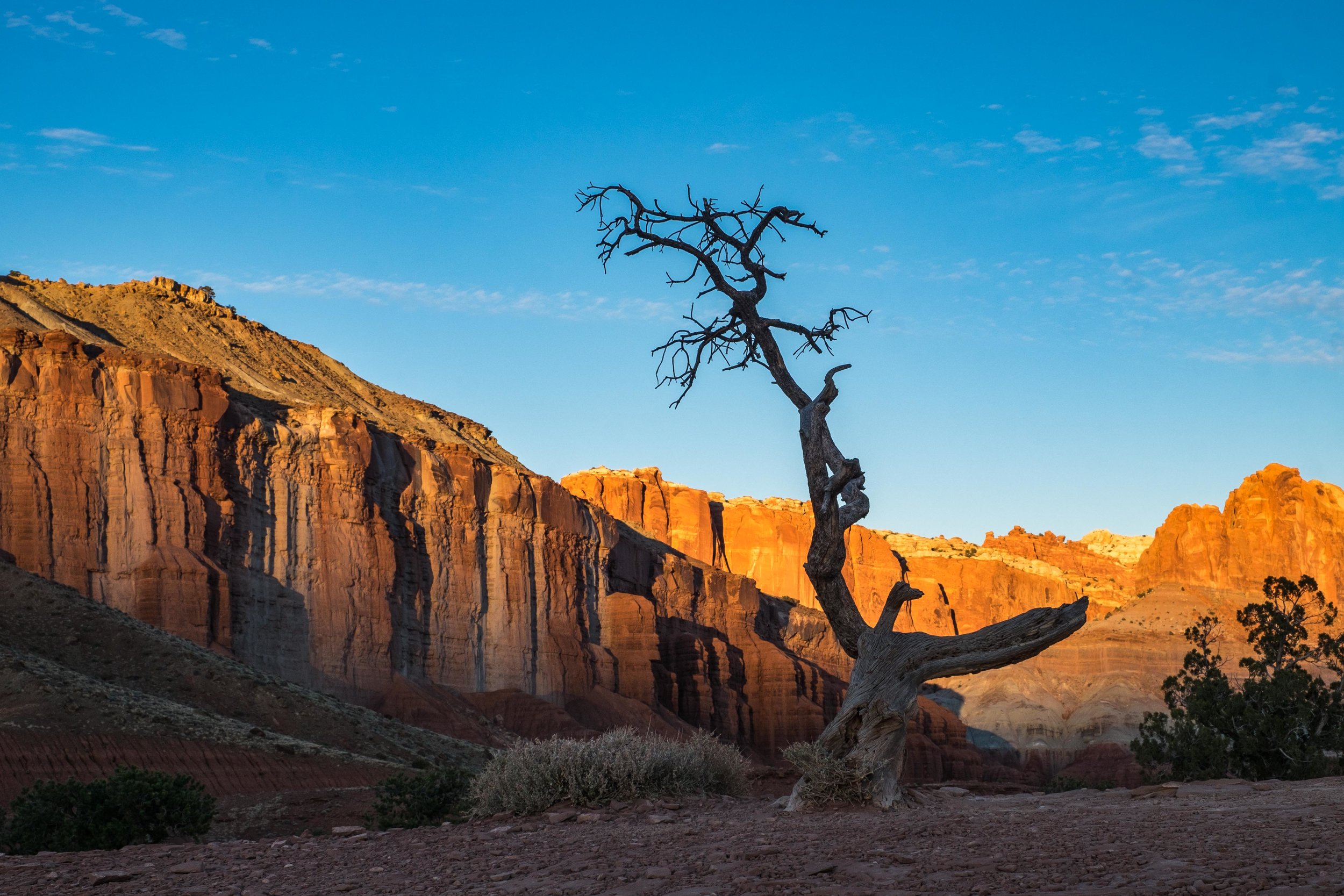
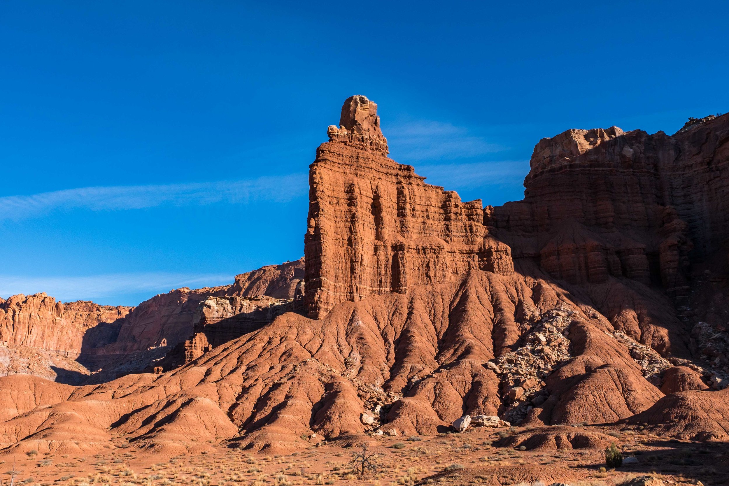
We've often said that all of southern Utah should be protected as national parkland. The entire region is filled with unusual, ornate, and beautiful geologic formations that take shape, color, and texture to a level that is truly beyond comprehension (unless you are a geologist, and if that is the case, you know how special Capitol Reef is.) The crown jewel of the park is Waterpocket Fold, the second largest monocline in North America, a feature that is often described as a "wrinkle" in the Earth’s crust, resembling a coral reef turned inside out.
The park and its surrounding areas protected under the Bureau of Land Management are full of canyons, ridges, buttes, badlands, and monoliths creating a 387-mile playground for modern day explorers while serving up prize shots for landscape photographers. Beyond the natural landscape is a rich cultural past spanning more than a thousand years that was cultivated by the Fremont Indians, and later, Mormon settlers who pioneered the park during the turn of the 19th century. Between easy-to-access areas surrounded by undeniable beauty, boundless backcountry wilderness to explore, and an interesting local history, it is unsurprising that Capitol Reef National Park sees high visitation numbers despite its off-the-beaten-path location.
Like many of the national parks, Capitol Reef is divided into separate and very distinct areas. We've outline them below, there are three, and included some awesome spots to stop at in each of them.
FRUITA RURAL HISTORIC DISTRICT

Looking through Hickman Bridge back towards Capitol Dome.
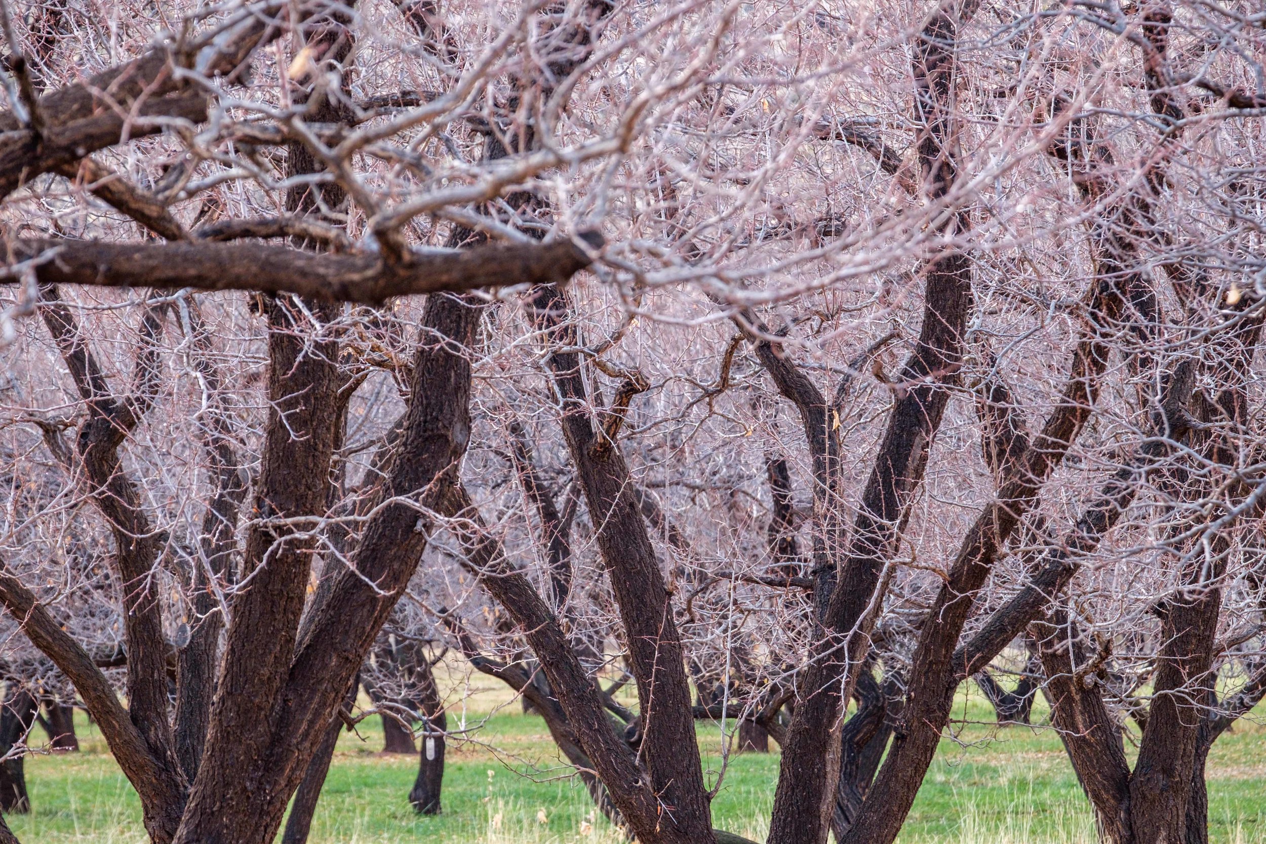
The historic orchards at Fruita during November.
The Fruita Rural Historic District is the most popular area in the park in terms of visitation. The paved Scenic Drive starting near the visitor center travels 20 miles (out and back) through gorgeous slick rock scenery and provides access along the way to many established trails that trot off into the landscape. There is an important cultural history in this area of the park as well. The village of Fruita was established along the Fremont River by Mormon pioneers in the late 1800s, who found there a rich utopia where they could flourish as the Fremont Indians had many centuries prior. The new settlers planted fruit trees along irrigation lines that were dug by the Fremont culture, trees that still remain today. With that, an apropos first stop...
Fruita Orchards
The Fruita Orchards are a popular place during the spring, summer, and fall when park goers file into the valley to harvest peaches, apricots, and apples. Anyone is welcome to visit open areas to sample and harvest fruit for a small fee. Healthy snacks for the trail!

Detail shot of the Fremont Petroglyphs.
Petroglyphs of the Fremont Culture
Carved into the sandstone formations in Fruita are the Fremont Petroglyphs, chipped rock art depicting animals, people, shapes and other forms indicative of their hunter/gatherer existence. The petroglyphs can be seen on several large panels east of the park visitor center on Hwy 24. There is parking, a boardwalk, and viewing platforms making it easy for all to catch a glimpse of the intriguing relics.
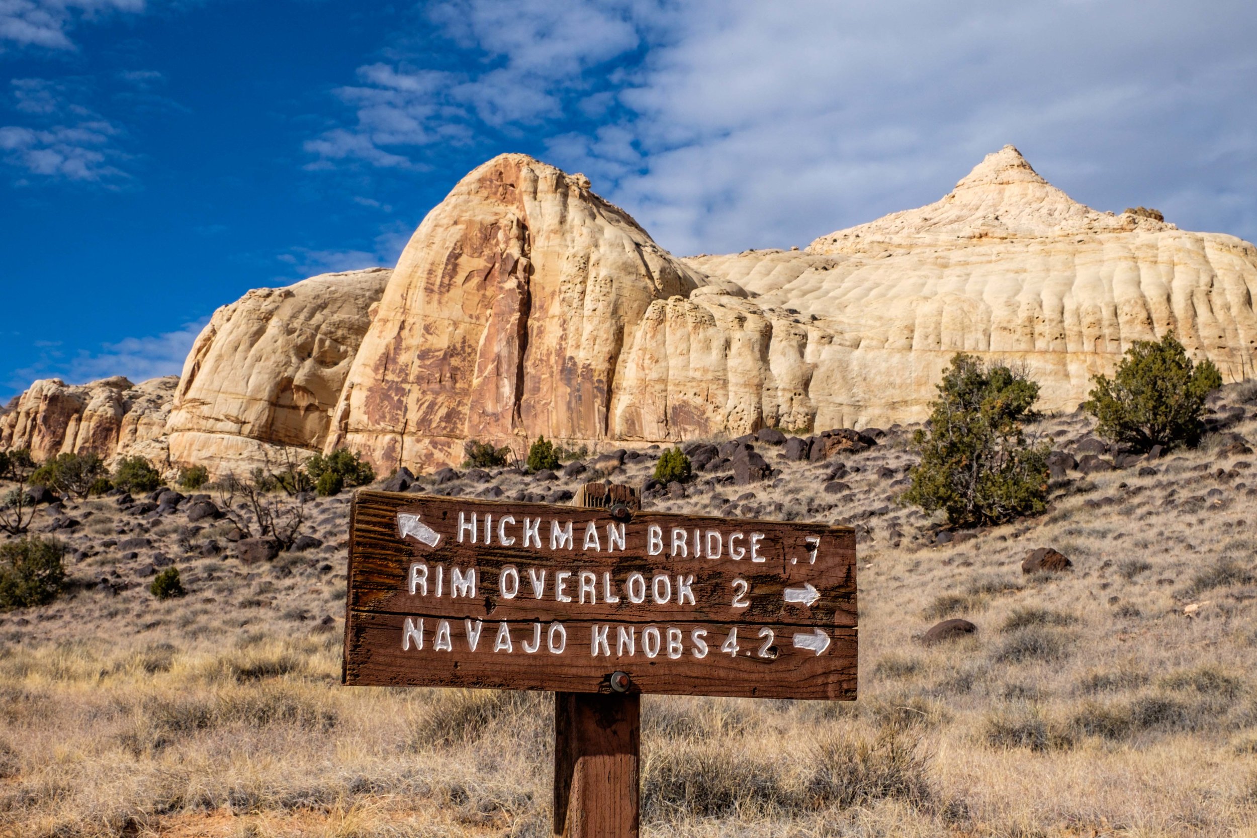
Hickman Arch
No visit to a Utah national park could be complete without a sandstone arch framing the scenic landscape. The Hickman Bridge is a 133-foot natural bridge with canyon views in all directions. Getting there is easy with roadside parking on Hwy 24. The trail to the bridge is a cool 1-mile.

The historic Torrey Log School & Church in the Fruita district of Capitol Reef.
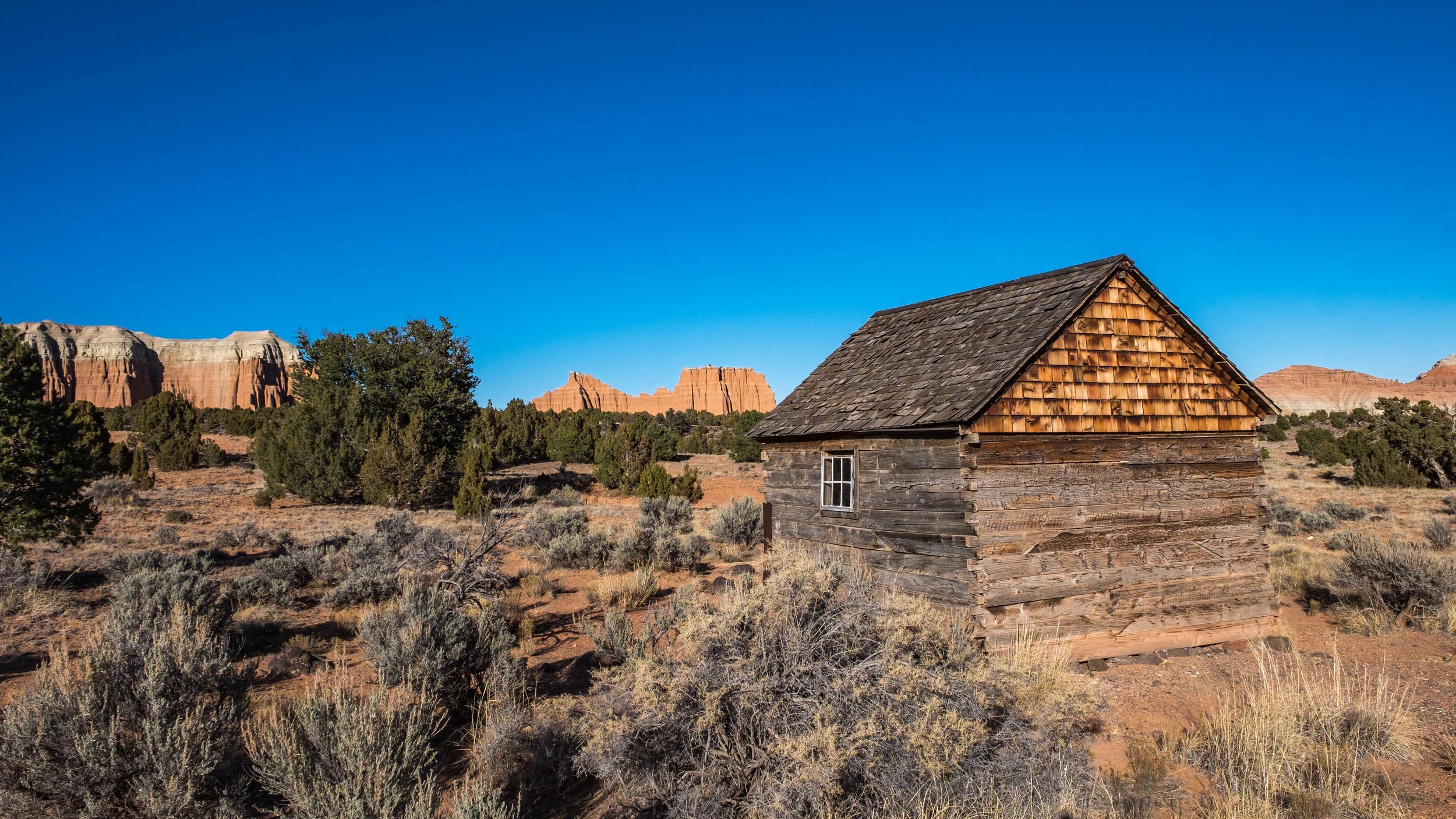
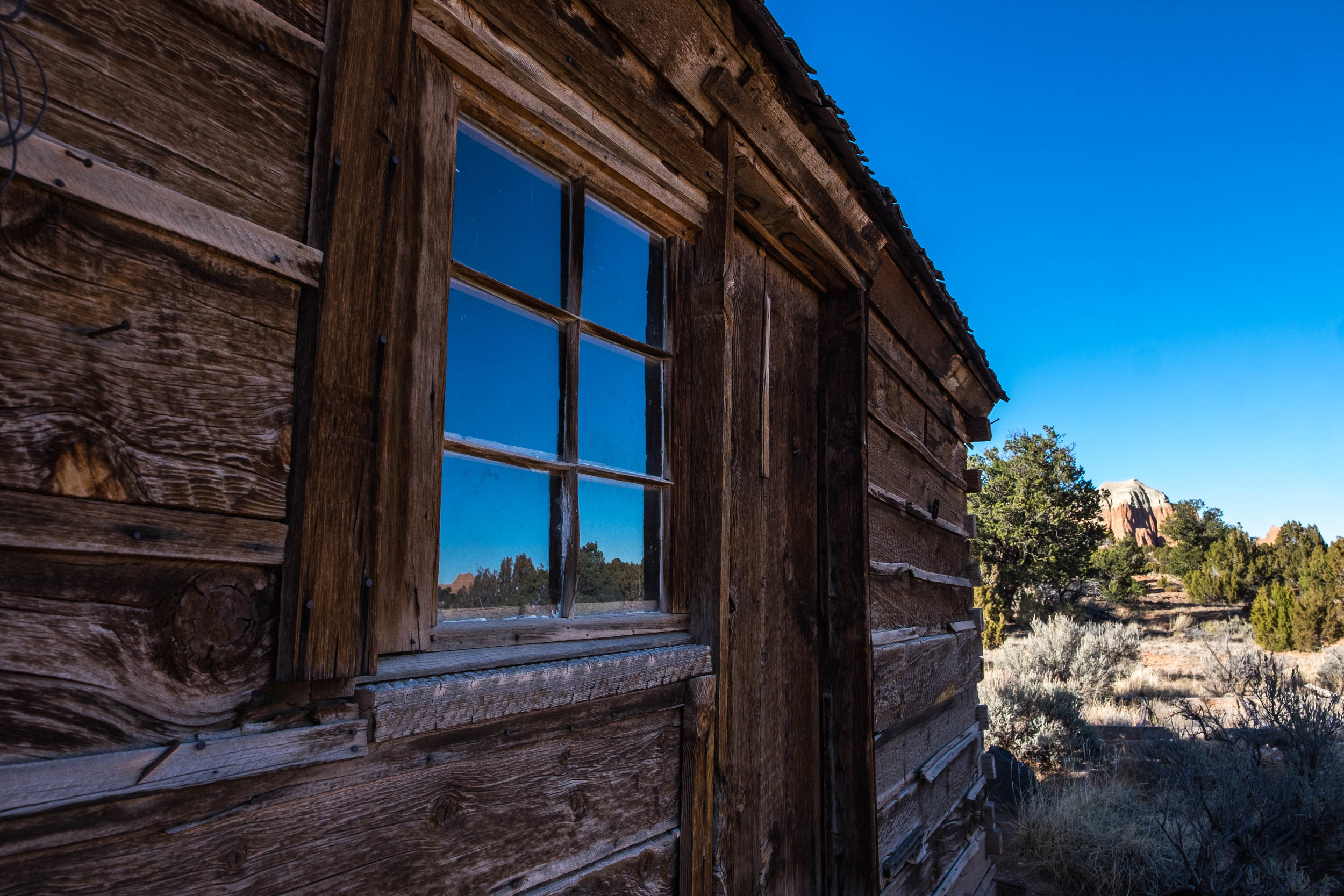
Torrey Log School & Church
The Mormon Church (Church of Jesus Christ of Latter-day Saints, or LDS,) with the help of local settlers built this one room log structure in 1898 using natural resources found in the area, shingles supplied by a local mill, and donations of doors and windows from neighboring communities. The structure was used as a school until attendance superseded space available. The school then evolved into a meeting house for members of the LDS church. The Torrey School & Church is now on the National Register as a historical building.
The Gifford House
This rural homestead is a classic example of early 20th century rural Utah farm homes. It was built by Calvin Pendleton in 1908 who occupied it with his family for eight years. Other private owners followed the Pendleton family until eventually the land became part of the national park. The homestead sits on 200 acres of land and has seven rooms, a barn and smokehouse, a garden, rock walls, and a pasture. This homestead is a prized example of earlier times and as such has been placed on the National Register of Historic Places. The Gifford House is operated today in partnership with the Capitol Reef Natural History Association and U.S. National Park Service who operate it as a museum and learning center to preserve and to also raise awareness of Utah’s cultural past.
Panorama Point
Panorama Point is an easy turn off from Hwy 24 and offers exactly what the name suggests – panoramic views in all directions. After following a short walk on a paved path to the top of the hill, fantastic views await, particularly so at sunset. It is also a fine place to get a sense of the lay of the land.

Wally the Airstream at Panorama Point.
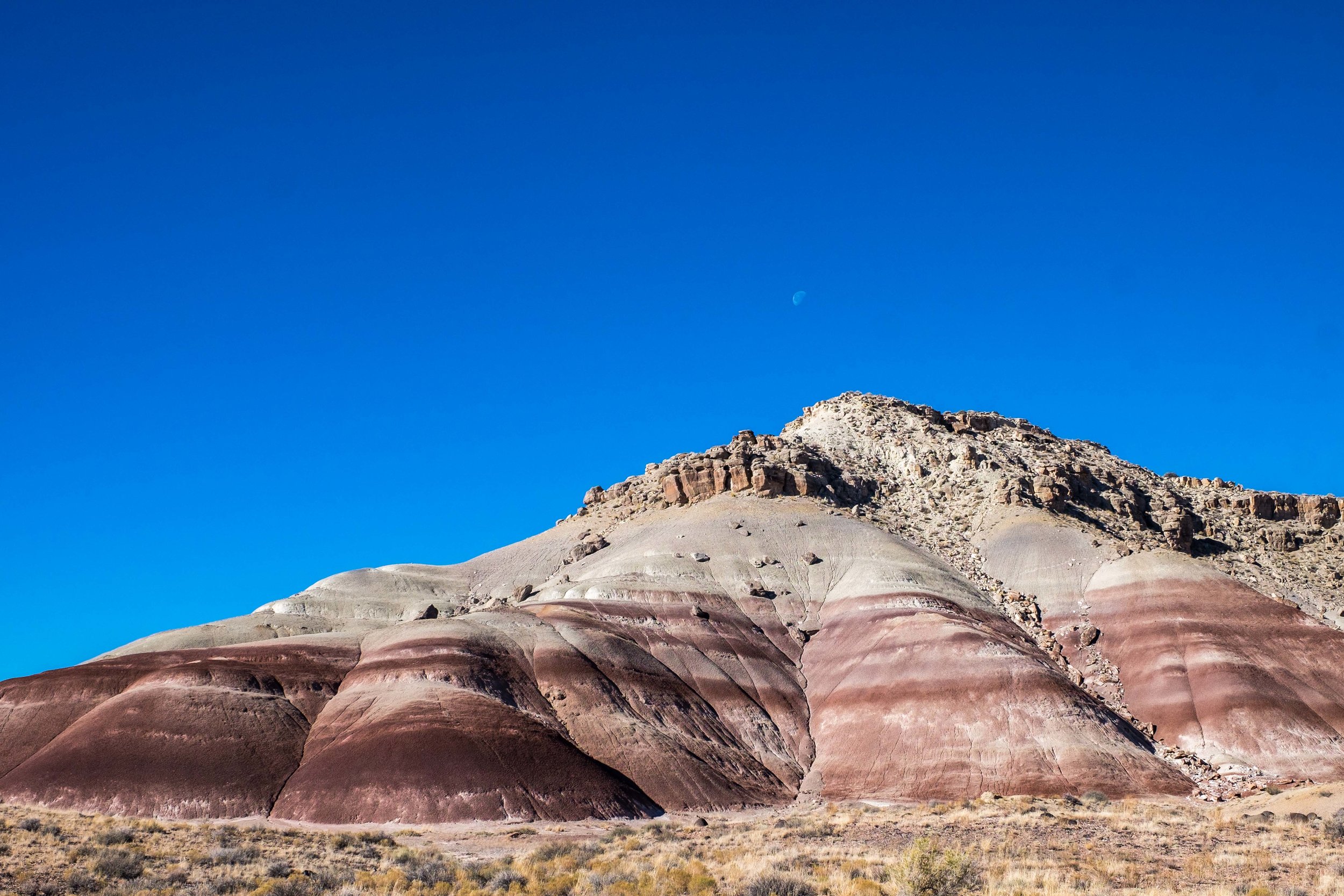
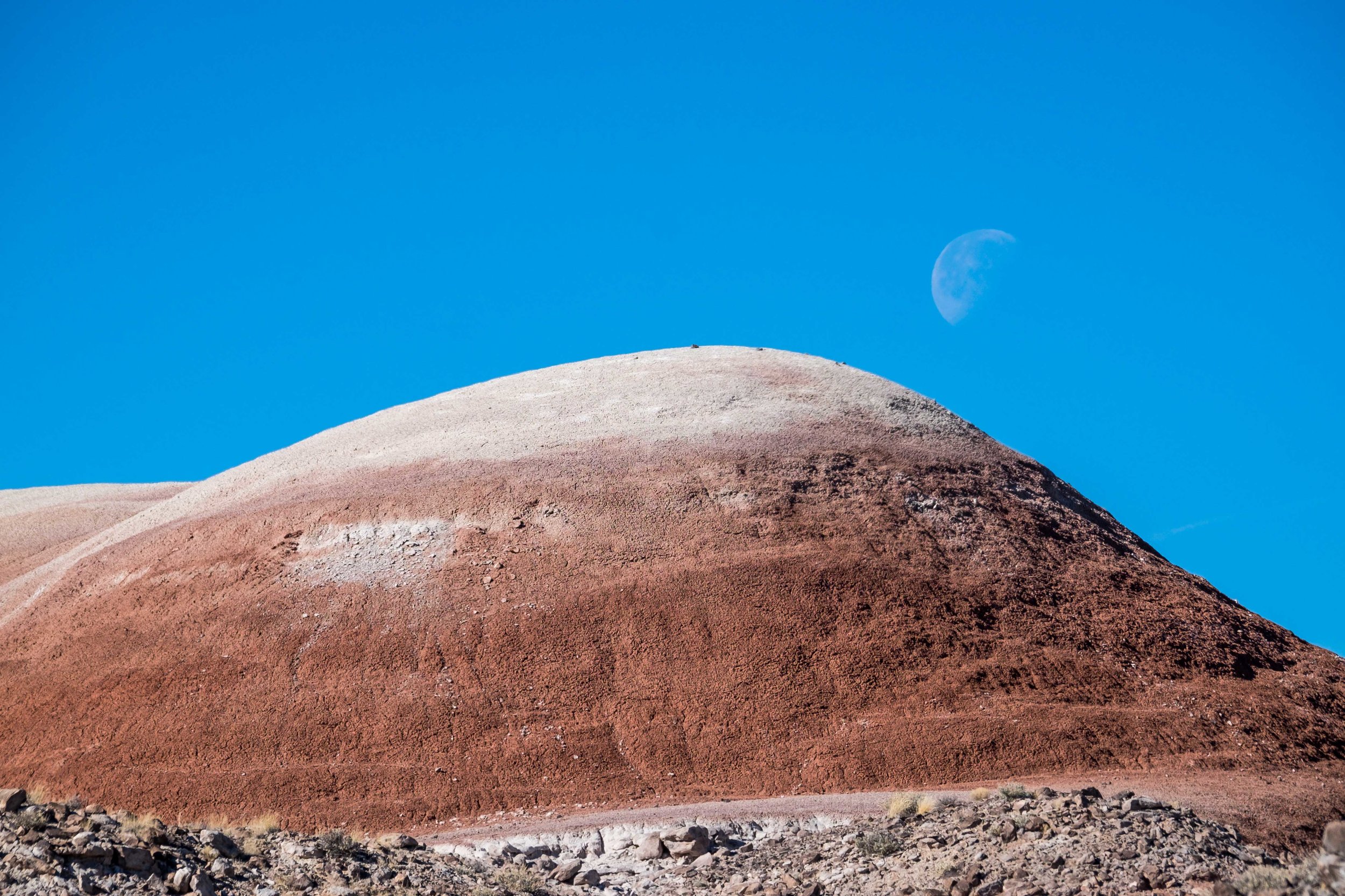
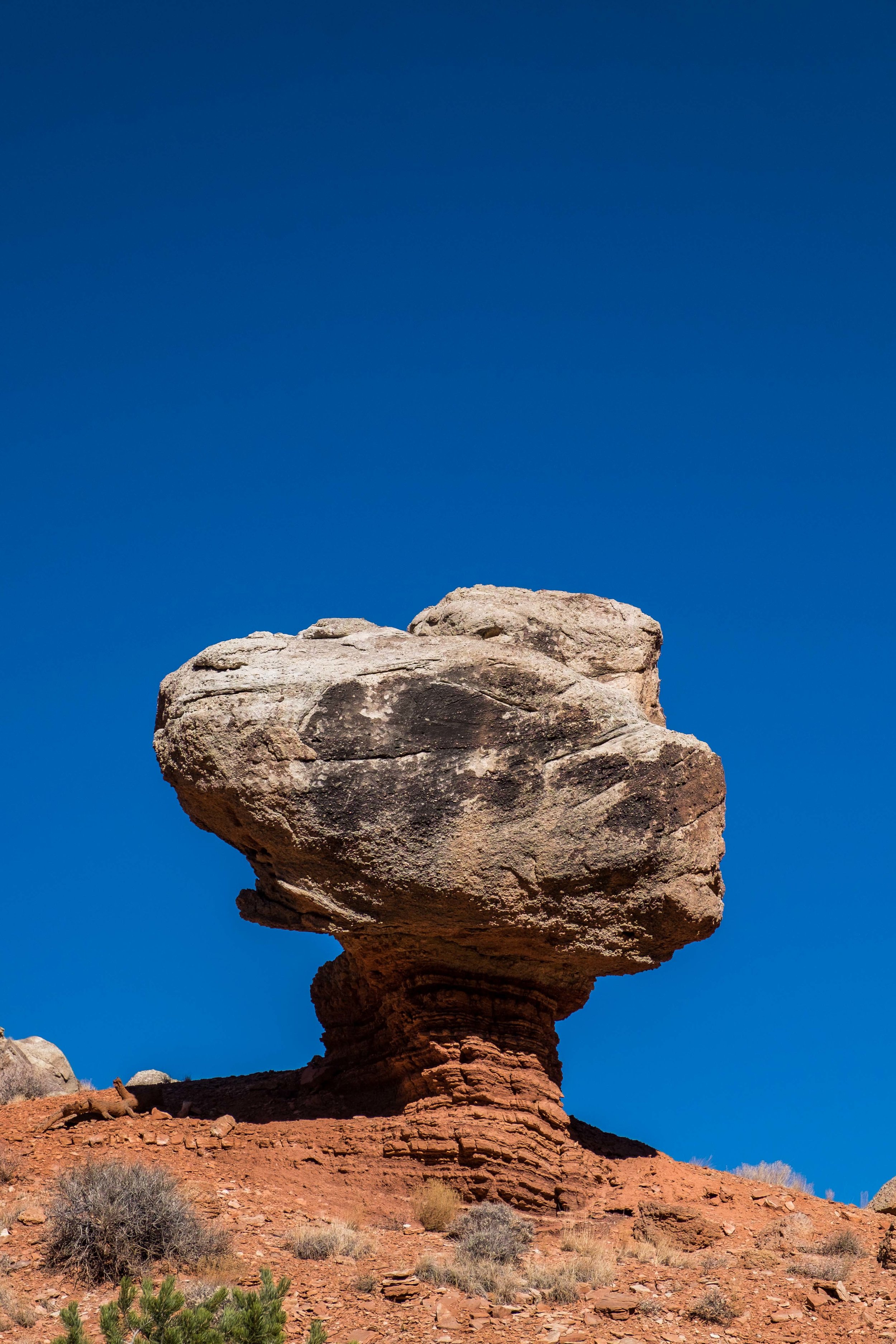
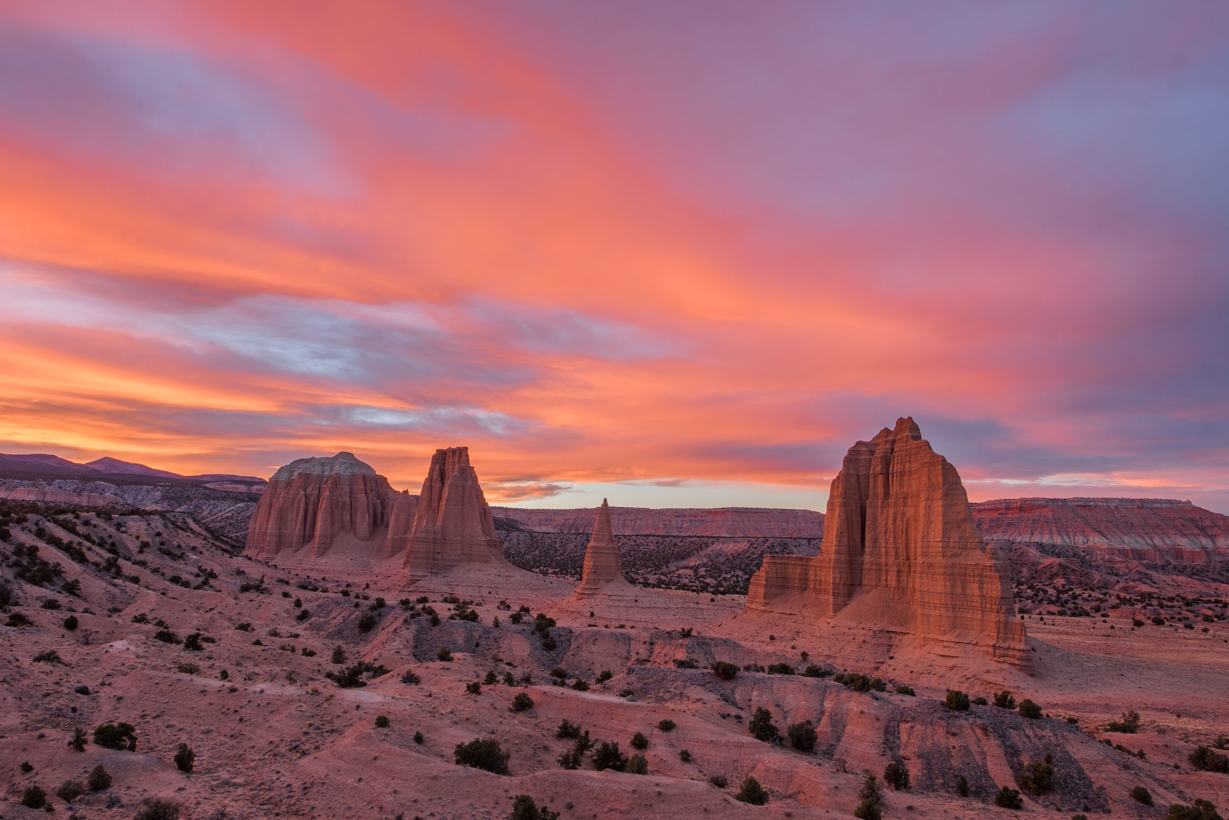
CATHEDRAL VALLEY

Red rock in the crepescule of a richly colored November night.
The Cathedral Valley area is a backcountry dream where you can get lost in solitude while exploring Utah's rugged and remote wilderness ecosystems. Not only is the Cathedral Valley area completely stunning, but its far-flung location is infrequently visited allowing visitors a respite from crowds found in more accessible areas. There is much to see and do in the Cathedral Valley – driving on primitive roads under big skies, shooting the sunrise at cool formations like the Temple of the Sun, Moon, and Stars, camping and hiking with peace and quiet as your guides... it’s amazing out there!
Glass Mountain
One of the coolest sites in the national park is the Glass Mountain, a small formation of exposed gypsum made of selenite crystals. The textured mound looks like it is decorated by broad brush strokes of dirt exposing glassy crystals. You can find it next to the Temple of the Moon monolith, and plan for at least 30 minutes to explore it. Even though it is relatively small when compared to other features in the park, and climbing on its delicate gem is forbidden, it is so unique and interesting that you will probably find yourself doing laps around it, spellbound by the incredible textured shapes of the gypsum.

Selenite crystals form Glass Mountain.

Incredible that life grows from it.
Gypsum Sinkhole
Five miles from the Cathedral Valley campground is the Gypsum Sinkhole – a 200-foot deep, 50-foot wide chasm that formed when water dissolved the below-ground gypsum foundation, allowing the site to cave in. It is astounding to stand over and look down into a depression like this falling so deep into the Earth, a reminder of the forces of nature always at work beneath the planetary surface.

This way to a giant hole in the Earth!

Entrance to the 200 feet chasm.
Morrell Cabin
The historic Morrell Cabin and Corral in Cathedral Valley sheds light on how this area has been used during the last century. It was built in the 1920s on Thousand Lake Mountain by a wealthy landowner named Paul Christensen, and was moved during the 1930s to its current location in the Cathedral Valley by Lesley Morrell. Locally known as “Les’s Cabin,” it once served as a stop along for cattle ranchers traveling to and from Thousand Lake Mountain where they could eat, sleep, rest and refuel. The National Park Service purchased the site in 1970. It is listed today on the National Register of Historic Places.
Morrell Cabin in the Cathedral Valley.
WATERPOCKET FOLD

Waterpocket Fold as seen from space! Credit: NASA Earth Observatory. (Click to enlarge.)
Waterpocket Fold, the geologic feature, is a 100-mile rocky spine extending from Thousand Lake Mountain to Lake Powell. Its technical name is a monocline, which, citing the Oxford Dictionary is a 'bend in rock strata that is otherwise uniformly dipping or horizontal.'
Waterpocket Fold, the area, is the least visited section of the national park. It has few services and few marked trails which is of course highly enticing for backpackers who want to head out into the wilderness to get lost. We weren’t able to make it to the Fold but from what we read and learned there, the Halls Creek Narrows and the Lower Muley Twist Canyon are two of the most popular spots in the park to set off from on a backpacking adventure... and so it goes, like so many other places found on our quest to see all of the national parks during 2016, we're adding this area to the lengthy list of places to explore in the future!

Quotable Images


Fact Box
37,711 acres | Home to the second largest monocline in North America
Official name: Capitol Reef National Park
Date established: December 18, 1971 (designated by President Franklin D. Roosevelt as a National Monument in 1937)
Location: Southern Utah
How the park got its name: Capitol Reef was given its name for the white domes of Navajo sandstone that resemble the domes of the capitol buildings found throughout the United States; and for the rocky cliff formations, the "reef," which presents a barrier to travel through this rugged terrain just as it does in the sea.

Monoliths during a spectacluar November sunset in the Upper Cathedral Valley.
Iconic site in the park: The massive monolith formations found in the Cathedral Valley look like church cathedrals, as their name suggests, and jump out from the backdrop like the subject of a children’s pop-up book. The loop drive taken to get there is 57-miles long, passing through the San Rafael Swell, an all-terrain environment that takes some commitment (and a high clearance vehicle) to get to. The most well known "cathedrals" are the 400-foot high Temple of the Sun and Temple of the Moon, each of which capture beautiful golden light during both sunrise and sunset, depending on where you stand. This area was given its name by the first superintendent of Capitol Reef National Park, Frank Beckwith, who thought that the dramatic, three dimensional figures looked like old world Gothic and Egyptian architecture.
Scenic Drive in the Fruita Rural Historic District in Capitol Reef National Park.
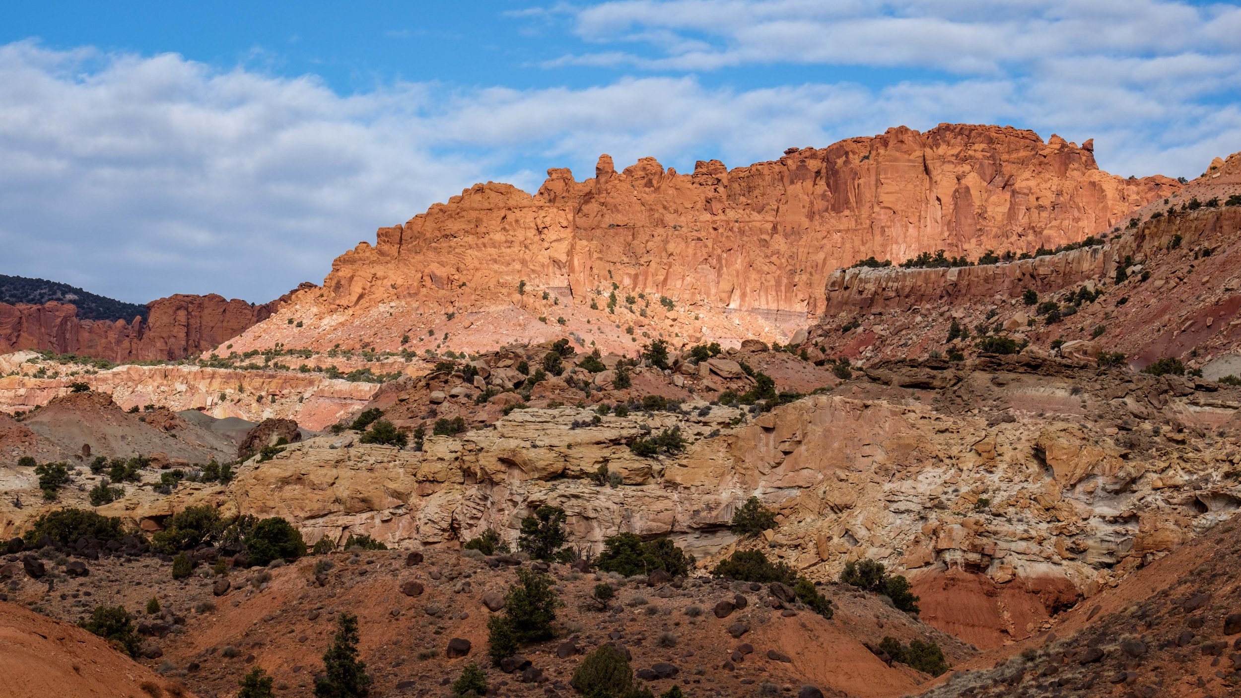
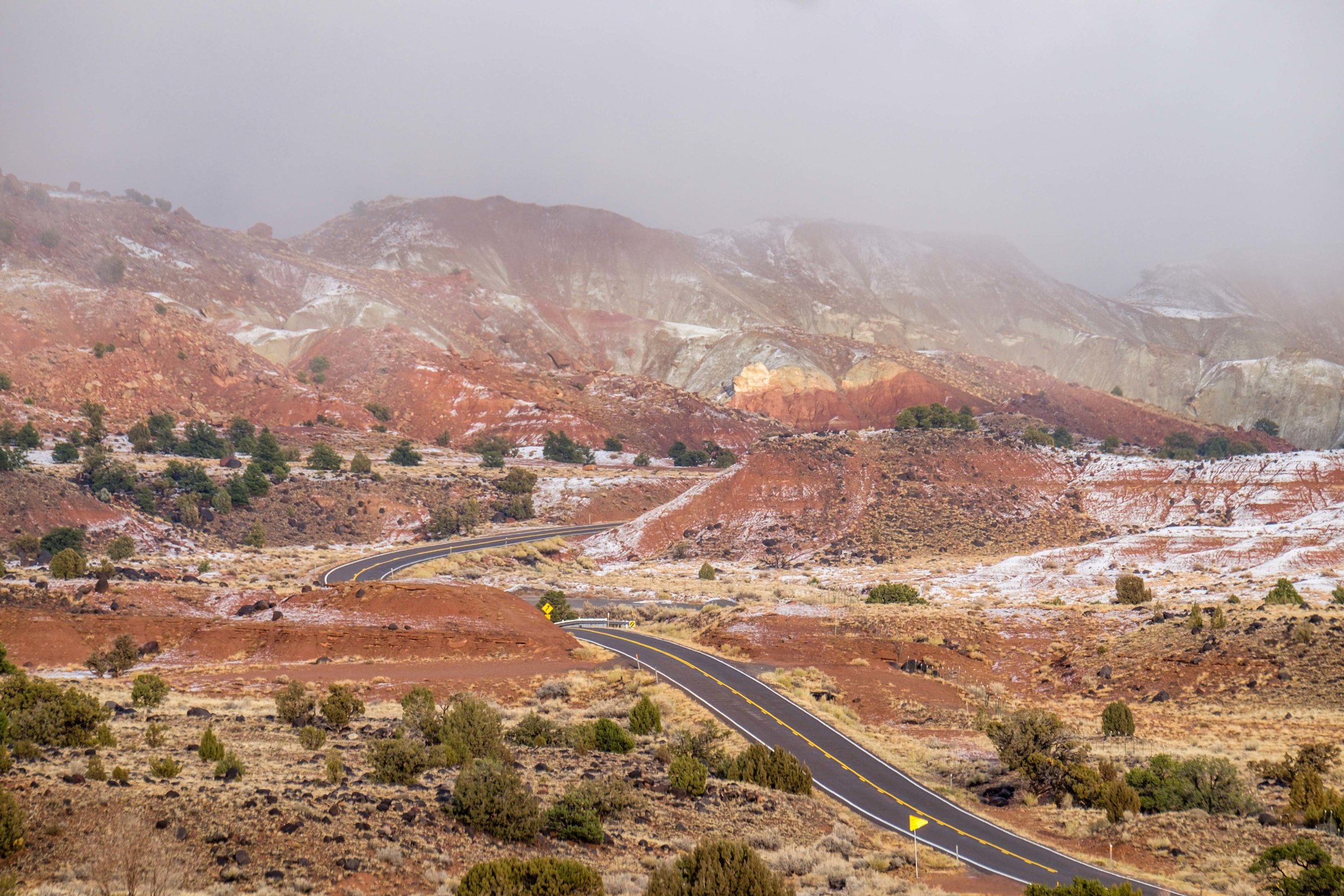
Accessible adventure: Ancient past meets modern present for auto-tourists along the paved park road (Hwy 24) and Scenic Drive, two separate roads that wind through the heart of the park in the Fruita Rural Historic District. These roads bring visitors passed rivers, valleys, orchards, historical rural buildings, petroglyphs, and aside formations made of sedimentary rock that is 225 million years old. There are nearly 40 established trails throughout the Fruita area as well as plenty of wildlife watching opportunities, so keep your eyes peeled and drive safely!
Big adventure: The 57-mile Cathedral Valley loop starts 11 miles from the visitor center in the Fruita Rural Historic District and heads north into one of the lesser visited areas of the park. Along the rugged primitive road, you can start to digest a painted landscape. When we were there in mid-November, it was virtually free of any soul other than ourselves and some charming coyotes (because it takes some commitment to get to, casual visitors tend to stay in Fruita.) The road passes by iconic sandstone monoliths, a sink hole, a crystal mountain, to scenic panoramic vista views, and across spectacular badlands on the outer edge of the park – it is a really fun place to get out of the car and get lost in the rolling hills. Once you are in Cathedral Valley, you may want to stay a night and explore more and there is an excellent camping area that enables you to do that. The Cathedral Valley campground is located 28 miles from the start of the loop drive. There are only six campsites, all are first-come first-served, but its remote location pretty much guarantees a place to pitch a tent during an adventure in the Cathedral Valley.

Hiking atop badland formations on the outskirts of the Cathedral Valley area.

Found our spot at the Cathedral Valley campground. With Mountain Hardwear.
Did you know…
Utah is home to what the state calls “The Mighty 5” – Arches, Canyonlands, Zion, Bryce, and Capitol Reef National Parks. Capitol Reef is the least visited of the lot because it is more difficult to get to from major fly-in areas found in Vegas and Denver – even still, it welcomes nearly 750,000 visitors annually.
The nearest traffic light to Capitol Reef National Park is 78 miles away.
There is no formal entrance to the national park. Payment is due at the visitor center and you are on your honor. Have honor!
There are 10 sites in Capitol Reef National Park on the National Registrar of Historic Places.

Millions of years of stories told in this scene...
Capitol Reef is approximately 60 miles long and about 6 miles wide.
Waterpocket Fold is nearly 100 miles long.
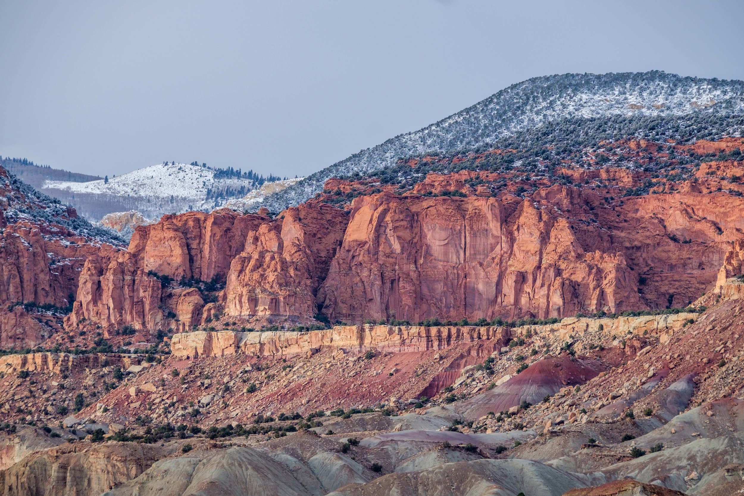
Most of Capitol Reef is made of sedimentary strata rock, ranging in age from 270 to 80 million years old.
The monoliths in the park are composed of the earthy, buff-pink Entrada sandstone that was deposited 165 million years ago during the Jurassic period.
There is plenty of evidence of ancient cultures in the backcountry area of the park – arrowheads, chip piles, petroglyphs, and ruins can all still be found today. As always, never remove artifacts from the national parks. Instead, snap a photo and take it to the ranger station to learn more about it, or even perhaps stake a big find! ‘
The native Fremont culture established themselves in the park around 1,000 AD. The Fremont's were excellent farmers and were able to make crops of maize, squashes, and lentils grow in abundance; while the natural landscape provided geologic resources that they turned into stone granaries used to process crops. Like in other national parks in the area, Mesa Verde comes to mind, the native people abandoned the area around 1300 – most likely due to drought.
The Fremont people were contemporaries of the Ancestral Puebloans (also known as Anasazi) of the Four Corners area of the U.S.
After the American Civil War ended, the The Church of Jesus Christ of Latter-day Saints in the state capital moved into remote areas of the Utah, Arizona, and Colorado wilderness establishing missions.
The Fruita valley was once a mining area, where from limestone and uranium was extracted during the early part of the 20th century.

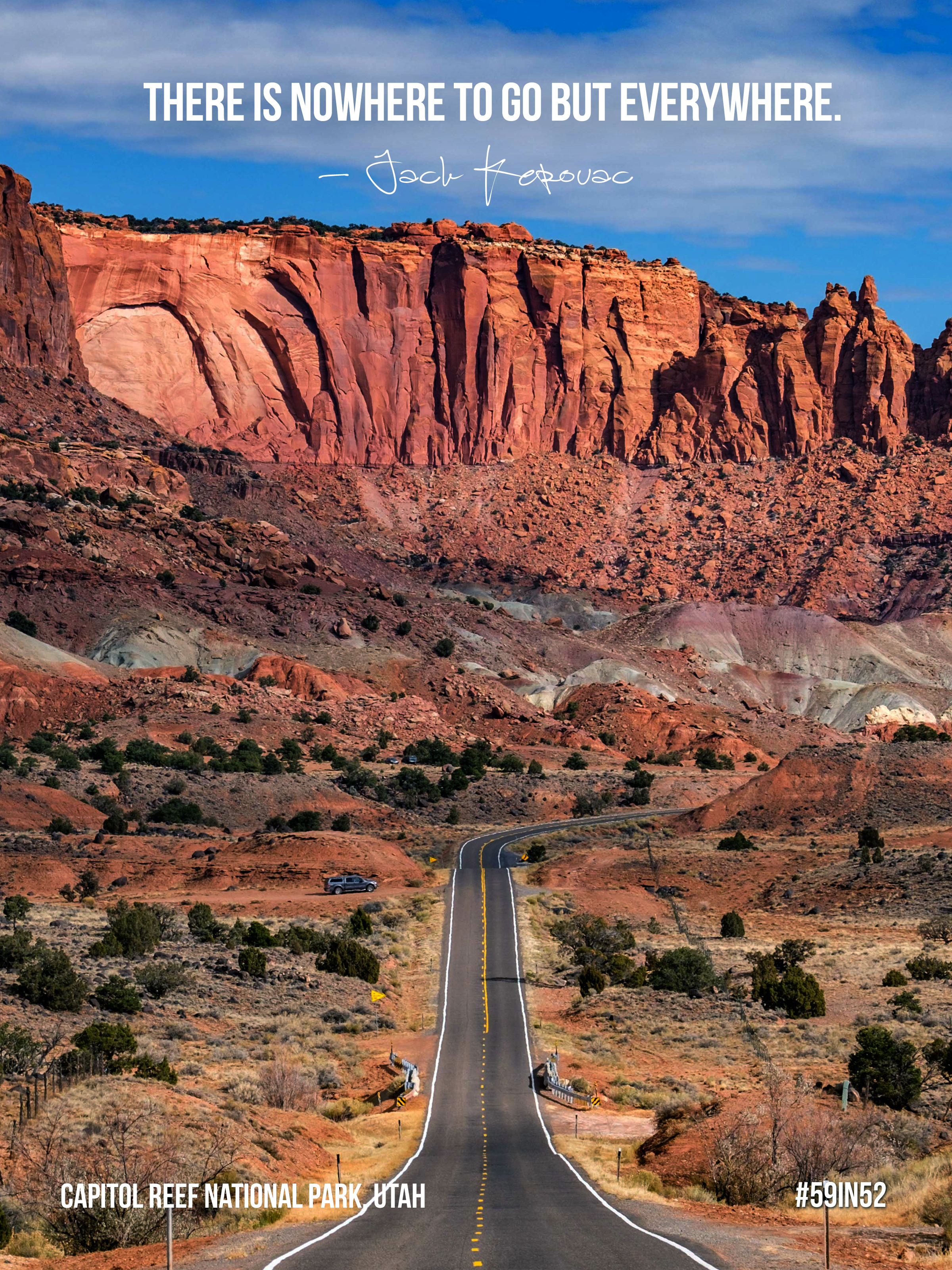
Looking back on Capitol Reef National Park on scenic byway 24.
Leaving the park boundary on the west side provides a great photo op of the road leading into Fruita – it is one of the truly epic road shots found anywhere in our national parks!
Deer and wild turkeys wander throughout the park while grazing on alfalfa.
There are 239 recorded bird species in the national park.
Desert bighorn sheep all but vanished from the park by 1948 due to disease and overhunting. The National Park Service has since reintroduced herds to the area several times, proven to be a successful effort as the unique subspecies continues to survive there today.
There are several ghost towns in Wayne County near Capitol Reef National Park.
Roads in the Cathedral Valley area may become impassable when wet and flash floods are relatively common, so always check the forecast before heading into the remote area and carry emergency supplies so that you're prepared for anything.

Signing off with a glamour shot!


““…of what value are objects of a past people if we don’t allow ourselves to be touched by them. They are alive. They have a voice. They remind us what it means to be human; that it is our nature to survive, to be resourceful, to be attentive to the world we live in.”